Reykjanes Volcano 2026: How to See an Eruption Safely
Published
Eruptions on the Reykjanes Peninsula have become Iceland's new normal. Here's how to watch lava safely, avoid the gas, and not wreck your trip.

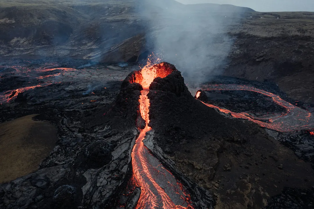
The first time I stood at a lava field edge while an eruption was actually happening, I could feel the heat through my boots before I could see the fissure. The sky had this orange smear across it that no photo ever captures correctly — not because the colours are too intense, but because photos don't vibrate. The ground vibrates. You do too.
If you're coming to Iceland in 2026, there is a real chance you will see that. Not from a distance, not on the news, but from a marked viewing path on the Reykjanes Peninsula with the actual sound of lava moving underneath a crust. That is not a marketing line. It is just the current geological situation.
What Is Actually Happening on Reykjanes Right Now
The Reykjanes Peninsula entered a new phase of volcanic activity in 2021 after roughly 800 years of quiet. Since then, the Sundhnúkur crater row — a fissure system northeast of Grindavík — has erupted multiple times. Eruptions occurred in December 2023, January 2024, February 2024, March 2024, May 2024, and November 2024. The pattern is clear: magma is accumulating, releasing, accumulating again. The intervals between eruptions have varied, and geologists at the Icelandic Meteorological Office (Veðurstofa Íslands) monitor the system continuously with GPS sensors and seismometers that track ground deformation and earthquake swarms.
When the ground around Svartsengi starts inflating measurably and small earthquakes cluster along the Sundhnúkur system, an eruption is typically days or weeks away — sometimes less. By early 2026, that inflation-and-release cycle has continued, and the scientific consensus is that further eruptions in this system are expected. I won't put a date on it because nobody can, and anyone who does is guessing. What I can tell you is that the infrastructure for monitoring and public response is genuinely excellent, and that visitors have watched eruptions safely from designated areas multiple times now.
Pro Tip: Bookmark vedur.is — the Icelandic Meteorological Office website — before you land. It publishes real-time eruption alerts, aviation colour codes, and gas warnings. It is the only source you should trust for live conditions. Not Instagram. Not travel blogs. Vedur.is.
Related experiences


The Blue Lagoon, Grindavík, and What Gets Closed
Let's be straight about this because the uncertainty is what worries most people. Grindavík, the fishing town closest to the active fissure system, has been evacuated multiple times since late 2023. Lava flows have reached the town's edge. The town's situation is serious and ongoing, and as a visitor you should have zero expectation of driving through it normally — road access is controlled and changes without much notice.
The Blue Lagoon (Bláa Lónið) is roughly four kilometres from Grindavík and has closed multiple times due to eruptions, gas risk, and precautionary evacuations. It has also reopened multiple times. By the time you read this, it may be open, or it may not be. Check directly at bluelagoon.com before you book anything that depends on it, and buy their cancellation cover if you do book. I'm not being pessimistic — I'm telling you what everyone here already knows.
Gas is the less dramatic but more practical hazard. When a fissure erupts, it releases sulphur dioxide (SO2). At high concentrations this is genuinely dangerous, and the Icelandic authorities close roads and viewing areas quickly when gas levels spike. The main road affected is typically Reykjanesbraut (Route 41) and the roads branching off toward Grindavík and the Svartsengi area. If you're driving a rental car and the radio (or vedur.is) says gas levels are elevated: close your vents, turn off outside air circulation, and do not stop to take photos on the roadside. Drive through or turn back.
Pro Tip: Download the 112 Iceland app. It's the official safety app run by the Icelandic Association for Search and Rescue (ICE-SAR). You can check in your location so rescue teams know where you are. In an eruption situation, this matters.
How to Actually Watch Lava Without Doing Something Stupid
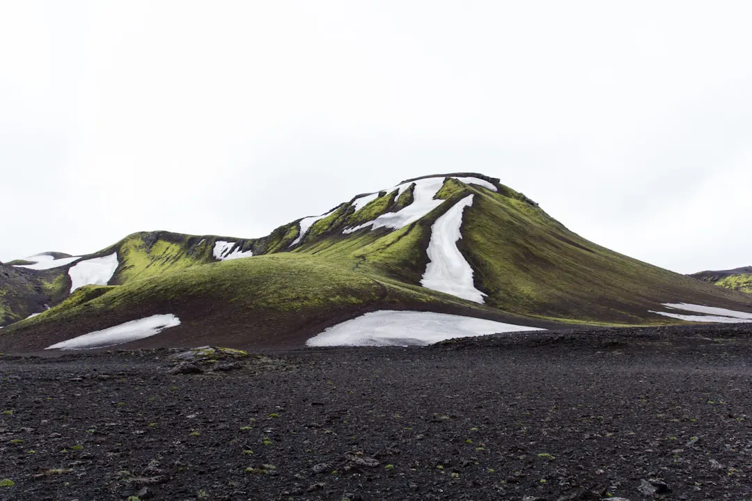
During previous Sundhnúkur eruptions, Icelandic authorities set up marked walking paths from designated parking areas — typically off Route 43 or the roads near Þorbjörn — that led to official viewing points. These paths were clearly signed, regularly monitored, and adjusted as lava flows changed the terrain. The distances involved were manageable on foot — often two to four kilometres return — and most people in reasonable fitness completed them without issue.
What the paths do not protect you from is your own decisions. I have watched people step off the marked trail to get closer. I have watched people stand downwind of a fissure and then be surprised that their eyes are burning. The lava crust near active flows looks solid and is not always solid. Wear sturdy footwear — not trail runners, actual boots with ankle support — because fresh lava (hraunið) is genuinely sharp and irregular. Bring a face covering in case gas levels rise while you're out there. Bring more layers than you think you need because it's Reykjanes and the wind does not care what month it is.
There are no cable cars, no visitor centres with warm soup, no guardrails. You walk out over black rock in the dark and the wind and there's this orange glow on the horizon that gets bigger. That is the whole experience. It is very good.
One thing that genuinely helps: go at night if an eruption is active. Lava is visible at any hour, but the contrast against a dark sky is completely different. In summer you obviously lose the darkness, but from late August through spring, night visits are stunning in a way that afternoon visits are not.
The Part Where Your Trip Doesn't Actually Get Wrecked
Here is the thing that people planning trips to Iceland in 2026 seem most anxious about: will an eruption ruin everything? And the honest answer, based on what has happened during every eruption since 2021, is: probably not.
Keflavík International Airport (KEF) has remained open through all recent eruptions. The volcanic activity on Reykjanes is effusive — meaning lava flows rather than explosive ash clouds — so the aviation disruption that happened after Eyjafjallajökull in 2010 is not the relevant comparison here. Different volcano, different eruption style, different risk profile entirely. The Met Office aviation colour codes (posted at en.vedur.is) will tell you if that changes, but it hasn't changed during Sundhnúkur events.
The rest of Iceland — the South Coast, the Snæfellsnes Peninsula, the Westfjords, the Highlands, Þingvellir — is completely unaffected by what happens on Reykjanes. If you have a week in Iceland and Reykjanes is closed due to an active eruption on the day you were going there, you have a week of other things. The Reykjanes situation has not cancelled anyone's northern lights trip. It has not cancelled glacier hikes. It has, a few times, cancelled specific day trips to the Blue Lagoon, which is annoying but survivable.
The Reykjanes Peninsula itself has a lot going on beyond the active volcanic zone. The Bridge Between Continents near Reykjanesviti lighthouse sits on the boundary between the North American and Eurasian tectonic plates — you can physically stand in the gap between them. The Gunnuhver hot spring area near the lighthouse is one of the more viscerally impressive geothermal sites in Iceland, with mud pools and steam vents that are genuinely loud. The Reykjanes UNESCO Global Geopark designation covers the whole peninsula for exactly this reason.
Pro Tip: If an eruption starts while you're already in Reykjavík, don't just jump in your car and drive toward it. Wait 30-60 minutes. The first response includes road closures, emergency services positioning, and air quality assessment. Things settle into a clearer pattern quickly, and the viewing paths — when they open — are safer and less chaotic than the first hour of a rush.
Getting Out There from Reykjavík
Reykjavík to the Reykjanes Peninsula is a short drive — the Reykjanesbraut motorway gets you to the active area in roughly 45 minutes from the city centre depending on exactly where you're going. You don't need a 4x4 for this; the roads are paved. That said, a rental with decent ground clearance is useful if conditions change and you end up on a temporary gravel track near a viewing area.
If you don't want to navigate an active eruption situation in a rental car you're financially responsible for, that is an extremely reasonable position. We run a small-group Reykjanes lava and geology tour from Reykjavík that covers the active zone, Gunnuhver, and the tectonic plate boundary — and when an eruption is live, we adjust the route in real time based on what's accessible and safe. There's something to be said for being in a vehicle with a guide who's done this before and knows which roads the gas monitoring flagged that morning.
Honestly, for a first eruption visit, a guided tour removes a layer of stress that lets you actually pay attention to what's in front of you instead of refreshing vedur.is while trying to find parking.
What I'd Tell a Friend Landing at KEF Next Month
Watch vedur.is from the day you land. Not obsessively — just check it the way you'd check the weather. If the aviation colour code goes orange or red for Reykjanes, something is probably starting. If you see earthquake swarm alerts around Svartsengi, something may be starting. The lead time between a swarm and an eruption can be very short, so staying loosely informed means you don't miss it.
If an eruption starts on a day you had other plans, seriously consider changing the plans. I know that sounds obvious. People don't always do it. They stick to itineraries. And then they meet someone who stood next to moving lava at two in the morning and have to hear about it for the rest of the trip.
Come prepared for cold and wind regardless of what month it is. The Reykjanes Peninsula is exposed coastline and the wind there has a personality. Bring actual waterproof layers, boots you can walk two to four kilometres in on rough ground, and a headlamp if there's any chance you'll be out after dark.
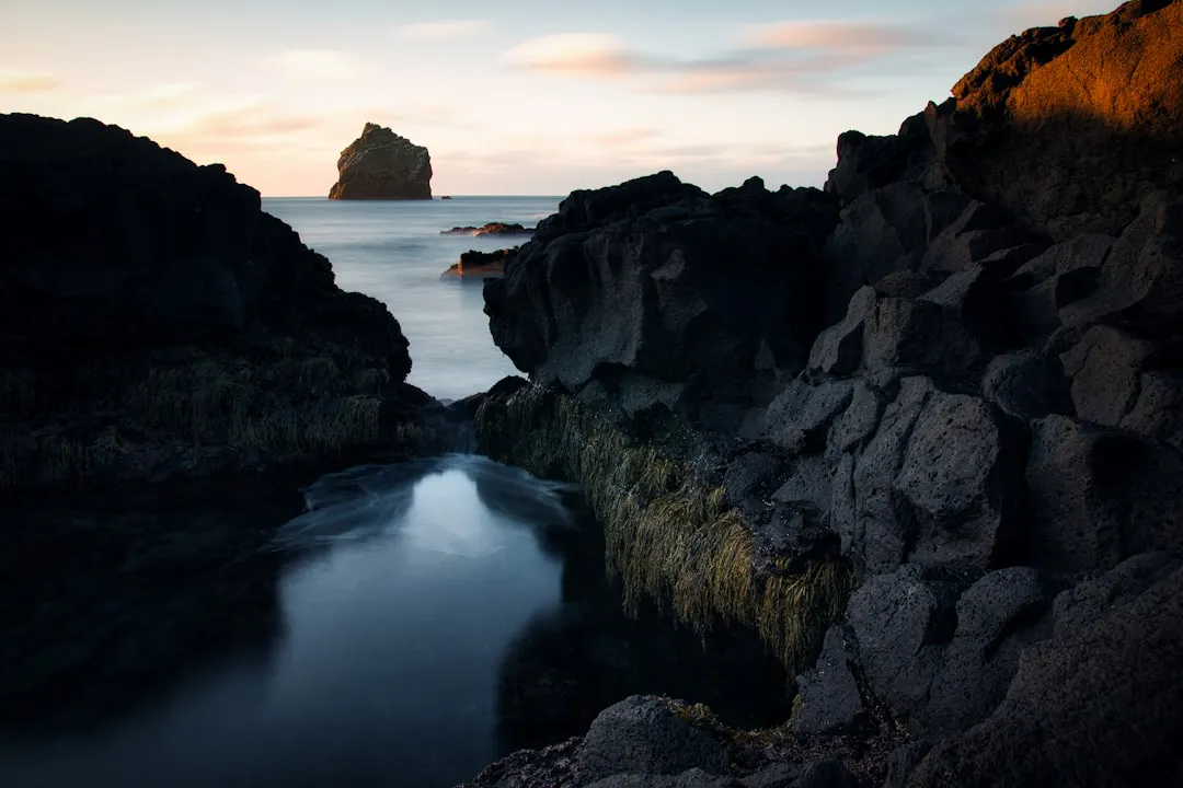
And if there's no eruption at all while you're here? The peninsula is still worth a day. The landscape is stark in a way that isn't decorative — it looks like something was built and then abandoned before it was finished. Which, geologically, is basically what happened.
If you want help putting together a Reykjanes day or want to know whether an eruption is looking likely before you finalise your dates, get in touch through QR Travel. I check messages most days, and I'd rather help you time this right than have you miss it by a week.

