Dettifoss in Summer: East Road vs West Road (No Fluff)
Published
Óðinn breaks down both access roads to Europe's most powerful waterfall — what nobody tells you before you go.

The first time I stood at the edge of Dettifoss, a stranger's rain jacket flew past my face. Not off their back — just, a jacket, airborne, gone into the mist. The person laughed. I laughed. We were both absolutely soaked within thirty seconds of arriving. That is Dettifoss. That is exactly what you are signing up for.
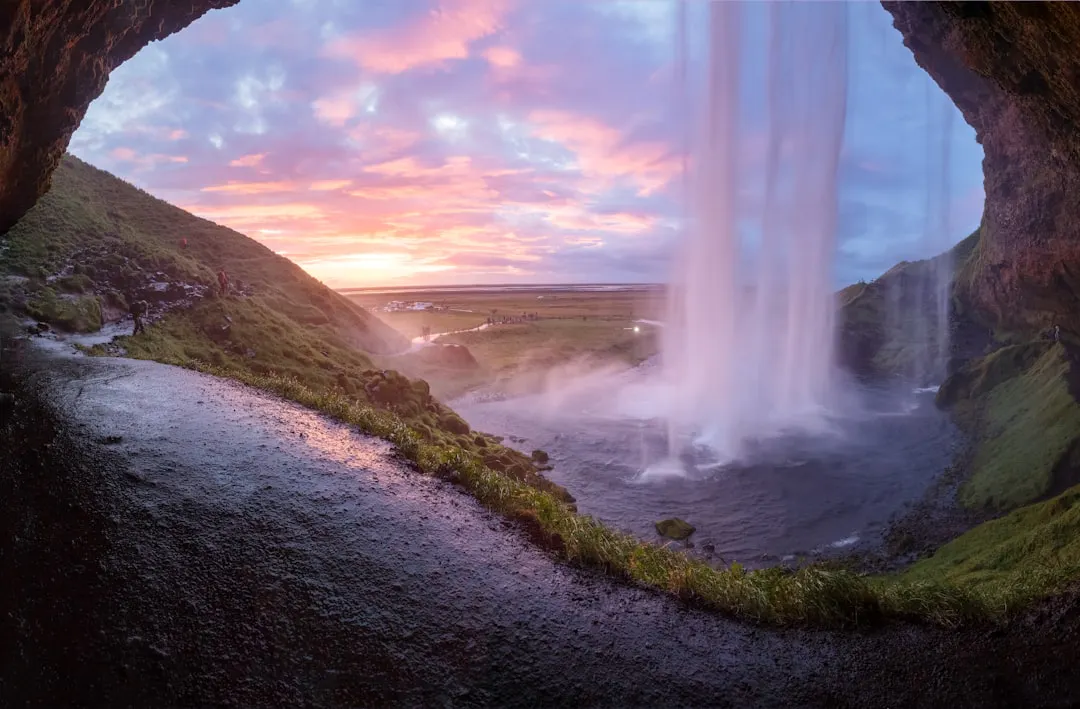
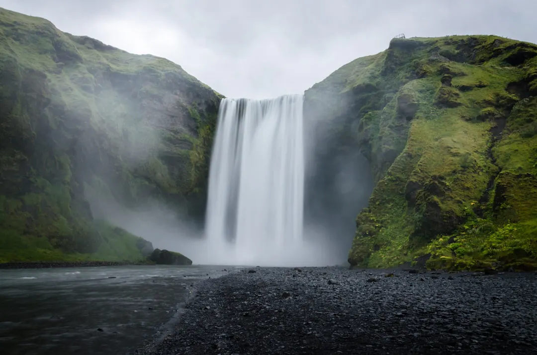
Here is the thing about this waterfall that the travel content never quite captures: it is not pretty in the way that, say, Seljalandsfoss is pretty. You cannot walk behind it, you cannot get a tidy Instagram shot with good lighting, and there is no cute café nearby. What Dettifoss is, is violent. Around 500 cubic metres of glacial water per second dropping 44 metres into the Jökulsárgljúfur canyon. Europe's most powerful waterfall is not a title it holds because of some tourist board vote — the volume and force of the thing are genuinely staggering, and the roar reaches you long before you can see it.
If you are driving Iceland's Ring Road (Route 1) in summer and skipping Dettifoss because it seems like a detour, I am telling you directly: you are making a mistake. The detour is worth it. The question is just which road you take to get there.
The two roads, and why this actually matters
Dettifoss sits in the northeast of Iceland, inside Vatnajökull National Park, in the Jökulsárgljúfur section. You can reach it from two sides — the west bank via Route 862, or the east bank via Route 864. Both are open in summer. They are not the same experience, and most guides just tell you '862 is paved, 864 is gravel' and leave it at that. That is technically true and almost completely useless.
Route 862 comes from the west and is paved for the majority of its length, which means any rental car can handle it without drama. The west bank viewpoint puts you looking across the falls from a relatively safe distance, with a railing and a well-worn path. The view is wide. You see the full width of the waterfall, the canyon below it, the Jökulsá á Fjöllum river churning away downstream. It is the view you have probably seen in photographs.
Route 864 comes from the east and is an unpaved gravel road. It is generally passable by a normal 2WD car in dry summer conditions, but it is rougher, it takes longer, and if there has been heavy rain, it can get genuinely unpleasant. Check conditions before you go — road.is is the site you want, and you should be checking it every morning anyway if you are driving anywhere in Iceland.
Pro Tip: If you are in a standard rental car and the weather has been wet, take 862. The gravel on 864 after rain is not impassable, but you will feel every kilometre of it and your car hire company will not be sympathetic.
Related experiences


What you actually see from each side
The east bank — Route 864 side — is the one I prefer, and I say that as someone who has been to Dettifoss more times than is probably healthy. From the east, you get closer. The path brings you right to the lip of the canyon, and you can look almost directly down into the drop. The spray hits you immediately and without mercy. There is no railing at every point. You feel genuinely small in a way that is hard to describe without sounding dramatic, so I will just say: it is a lot.
The east side also gives you better access to Selfoss, which is the waterfall about a kilometre upstream from Dettifoss. Selfoss is lower — around 10 metres — and wider, and because everyone rushes past it to get to Dettifoss, it is often almost empty. Walk upstream along the canyon edge and you will find it. It is worth every step.
Hafragilsfoss is downstream from Dettifoss, roughly a kilometre in the other direction. It is smaller, around 27 metres, but the canyon walls around it are extraordinary — the geology shifts and you start to see the basalt columns properly. From the west side (862), there is a path down to a viewpoint for Hafragilsfoss. From the east side, the walk is longer. Either way, do not skip it because you are tired from Dettifoss. Push through.
The west bank viewpoint for Dettifoss itself is excellent if you want photographs with any sense of composition. The light hits differently in the afternoon, and the spray tends to blow east, which means you stay drier. If you are travelling with someone who is not particularly interested in getting absolutely hammered by glacial mist, send them to the west side.
Timing, crowds, and the summer light situation
Summer in Iceland means the midnight sun, and in the northeast, that light does something genuinely useful for visiting Dettifoss. If you can get there in the late evening — say, 9pm onwards — the crowds thin dramatically and the light goes golden and low. The canyon catches it in a way that does not happen at midday.
Midday in July at Dettifoss can be busy. Not Niagara Falls busy, but busy enough that you are queueing for a parking spot and sharing the viewing platform with a lot of people who all want the same photo. The car park on the 862 side fills up fast on clear summer days. The 864 side car park is smaller but tends to be slightly less chaotic, partly because fewer people bother with the gravel road.
If you are coming from Akureyri, which is the main base for a lot of people exploring the north, Dettifoss is roughly 150 kilometres away depending on the route. That is about two hours of driving. Do not underestimate it and try to squeeze it into a half-day alongside Goðafoss, Mývatn, and a swim at the Mývatn Nature Baths. You will spend the whole time rushing and enjoy none of it properly.
Pro Tip: The Mývatn area and Dettifoss work well as a full day from Akureyri, but pick one or two things at Mývatn and give Dettifoss proper time. Two hours minimum at the falls, not counting the drive.
The walk itself — what shape are you in?
Look, I know the signs say 'easy walk.' They are being generous. The paths are uneven, the rock is often wet, and you are walking on basalt, which is not forgiving when it is slippery. Wear actual walking shoes. I have watched people attempt this in flip-flops and white trainers and it does not end well for the trainers.
From the west bank car park to the main Dettifoss viewpoint, the walk is short — maybe ten to fifteen minutes on a clear path. Adding Selfoss upstream from the east side is a round trip of roughly two kilometres on uneven terrain. Hafragilsfoss downstream adds a similar amount. None of it is technically difficult, but the ground is genuinely rough and the footing near the canyon edge requires your actual attention.
The spray issue is real. If the wind is blowing towards the west bank viewing area, you will get wet. Not damp — wet. A waterproof jacket is not optional gear here; it is the minimum requirement. In summer, it might be relatively warm — temperatures in the northeast can reach the mid-teens Celsius on a good day — but wet and windy drops that fast.
Getting there and what to pair with it
Most people approach Dettifoss as part of a Ring Road trip, usually when they are between Mývatn and heading towards the East Fjords. The turn-off for Route 862 is clearly signposted from Route 1, and Route 864 branches off slightly further east. Both are well-signed in summer.
If you are not self-driving — and plenty of people are not, because Icelandic roads have a habit of humbling people who underestimate them — there are day tours running from Akureyri that cover Dettifoss and the Mývatn area together. We run a full-day north Iceland tour from Akureyri through QR Travel that takes in Dettifoss from the west bank and includes time at Selfoss; it is the version I recommend for anyone who does not want to think about road conditions or parking logistics in high season, because both of those things can genuinely eat your day.
Ásbyrgi canyon is also worth knowing about if you are in the area. It is about 30 kilometres north of Dettifoss along Route 862, and it is the kind of place that stops you in your tracks — a horseshoe-shaped canyon with forested floor that feels completely different from the lava fields everywhere else. It is not heavily marketed because it does not photograph dramatically, but spend an hour there and you will understand why locals rate it.
Pro Tip: If you are camping, there is a campsite at Ásbyrgi. Staying there and doing Dettifoss as an early morning drive before anyone else arrives is one of the better moves you can make in the north. Jökulsárgljúfur is a national park and the rules about where you can camp outside designated sites are strict — stick to the campsite.
Come ready for it
Dettifoss is one of those places where the gap between being prepared and being miserable is a waterproof jacket and thirty minutes of timing research. Do that, and it is genuinely one of the more impressive things you will see in Iceland. Skip the prep, rock up at noon in a cotton hoodie, and you will be back in your car in twenty minutes wondering what the fuss was about.
Take the east bank if the road is dry and you want to feel the scale of the thing properly. Take the west bank if the road is wet, if you are in a standard rental, or if you are trying to get a photograph that does not look like a grey blur. Walk to Selfoss. Walk to Hafragilsfoss. Give yourself the full morning or the full late evening — not a rushed hour between other stops.
If you want help building a north Iceland itinerary that actually fits Dettifoss in properly rather than squeezing it between fifteen other things, come find me on the QR Travel platform. I have planned enough of these routes to know what works and what leaves people feeling like they half-saw everything. You have come this far north — do it right.

